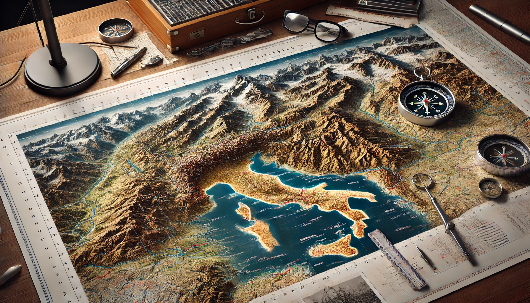
Cartography is the art, science, and technology of making and using maps, encompassing data acquisition, geographic referencing, design, and dissemination across print and digital media, according to Encyclopaedia Britannica. (
britannica.com) The term derives from the French cartographie, from carte (“map”) + -graphie (“writing”), with English usage attested since the mid-19th century, as documented by
Merriam-Webster. (
merriam-webster.com)
History
- –Early mapmaking has deep antiquity, evidenced by the Babylonian Map of the World clay tablet (often called Imago Mundi), dated to the late 8th–6th centuries BCE and held by the British Museum, which depicts a disk-shaped world encircled by a “bitter river.” See the museum’s object record and summary by
British Museum and
Britannica. (
britishmuseum.org)
- –In the 2nd century CE, Ptolemy systematized classical geography in the Geōgraphikē hyphēgēsis (“Guide to Geography”), providing coordinates (latitude/longitude) for thousands of places and proposing projections to portray the spherical Earth on a plane; see
Britannica. (
britannica.com)
- –Medieval and early modern navigation advanced with portolan charts characterized by rhumb-line networks and coastal detail; the earliest dated example is from 1311 (Petrus Vesconte), often cited as the start of professional chartmaking, per
Britannica. (
britannica.com)
- –In 1569, Gerardus Mercator introduced the Mercator projection, enabling straight-line loxodromic courses for navigation but greatly exaggerating area at high latitudes; see
Britannica. (
britannica.com)
- –The modern scholarly synthesis of map history is presented in the multi-volume History of Cartography series from University of Chicago Press, available freely online (Volumes 1–4 and 6) and overseen by the History of Cartography Project; see series pages and access points via the University of Wisconsin and Chicago Press sites.
History of Cartography Project;
University of Chicago Press. (
geography.wisc.edu)
Theory and methods
- –Map projections are systematic transformations from the curved Earth to a flat surface; all incur distortion in area, shape, distance, or direction, as summarized by
Britannica. (
britannica.com)
- –Quantifying and visualizing distortion commonly uses Tissot’s indicatrix, which shows how infinitesimal circles become ellipses, revealing principal scale and angular deformation (introduced by Nicolas Auguste Tissot in the 19th century). See
Tissot’s indicatrix for a technical overview. (
en.wikipedia.org)
- –The development and cataloging of projections are treated in John P. Snyder’s standard monograph, [Flattening the Earth](book://John P. Snyder|Flattening the Earth: Two Thousand Years of Map Projections|University of Chicago Press|1993), which details projection mathematics and history.
- –Cartographic design principles build on visual variables (e.g., size, value, hue, texture, orientation, shape) articulated by Jacques Bertin in
Semiology of Graphics (English ed., 2011), and practical symbology such as color schemes for choropleth and other thematic maps is supported by
ColorBrewer. (
catalog.libraries.psu.edu)
- –Widely used textbooks such as Robinson et al.’s
Elements of Cartography (6th ed., 1995) synthesize geodesy, map generalization, typography, and reproduction. (
catalog.princeton.edu)
Data, technologies, and reference frames
- –Contemporary cartography integrates ground survey, aerial photogrammetry, and Remote sensing from satellites and aircraft; NASA defines remote sensing as acquiring information from a distance through passive and active instruments across the electromagnetic spectrum. See
NASA Earthdata. (
earthdata.nasa.gov)
- –The Geographic information system (GIS) provides tools to store, analyze, and visualize location-referenced data; a concise definition and examples are provided by the U.S. Geological Survey. See
USGS. (
usgs.gov)
- –Global geodetic consistency commonly relies on the World Geodetic System 1984 (WGS 84), an Earth-centered, Earth-fixed reference frame and geodetic datum maintained and updated by the U.S. National Geospatial-Intelligence Agency (NGA) for GPS and other applications; see NGA’s overview and WGS 84 reference parameters.
NGA overview;
NGA WGS 84 details. (
nga.mil)
Digital cartography, web mapping, and standards
- –The Open Geospatial Consortium (OGC) publishes interoperability standards enabling map services and tiled web maps, notably Web Map Service 1.3.0 (WMS), Web Map Tile Service 1.0.0 (WMTS), and the newer OGC API—Tiles, which supports tiles of vector and raster data via RESTful APIs. See the OGC standards pages for
WMS,
WMTS, and
OGC API—Tiles. (
ogc.org)
- –KML (Keyhole Markup Language) was standardized by OGC in 2008 (KML 2.2; latest 2.3), facilitating exchange of geospatial annotations across earth browsers and web maps; see OGC’s KML standard page and press release.
OGC KML;
OGC Press Release. (
ogc.org)
- –Collaborative mapping communities such as OpenStreetMap produce open geospatial data used widely in apps and services; project descriptions emphasize open data and community contribution. See
OpenStreetMap About and the Welcome Mat overview.
OpenStreetMap. (
openstreetmap.org)
Organizations, policy, and nomenclature
- –The International Cartographic Association (ICA), founded in 1959, is the global scholarly society promoting cartography and GIScience through conferences and commissions; see the ICA’s official site.
ICA. (
icaci.org)
- –The United Nations Group of Experts on Geographical Names (UNGEGN) coordinates international standardization of place names and issues technical guidance (e.g., Toponymic Guidelines) through the UN Statistics Division; see UN pages on UNGEGN and its working groups.
UN ECOSOC/UNGEGN 2025 session;
UNGEGN working group: Toponymic Guidelines. (
ecosoc.un.org)
Map types and uses
- –General-reference (topographic) maps depict varied natural and built features at consistent scale and specification, typically including relief via contour lines; definitions and scope are summarized by
Britannica. (
britannica.com)
- –Thematic maps emphasize the geographic distribution of specific variables (e.g., population, climate), forming the backbone of GIS layer analysis; see
Britannica on GIS and overview of thematic mapping.
Thematic map. (
britannica.com)
Ethics and critical cartography
- –Scholarship in critical cartography highlights how maps encode power and ideology in their selection, classification, and symbolism; a seminal articulation is J. B. Harley’s 1989 essay “Deconstructing the Map” in Cartographica. [Deconstructing the Map](journal://Cartographica|Deconstructing the Map|1989); publisher DOI page at University of Toronto Press.
UTP/Cartographica DOI page. (
utppublishing.com)
